For decades, the residents of Ottawa County, Oklahoma have contended with contaminated water, air and soil from old mining sites. A Siena professor and two of her students have just created a new floodplain map that shows just how toxic increased flooding has been to the area, to help promote and guide further remediation.
The Tar Creek Superfund site sits in the northeast corner of Oklahoma. It is one of the oldest Superfund sites in the nation, and is home to a large Indigenous community. Although a large-scale cleanup using federal funds has been ongoing for some years, there is still much work to be done.
Kate Meierdiercks, Ph.D., department chair and associate professor of environmental studies and sciences, had already conducted floodplain mapping in the Hudson River watershed and was looking to branch out to other areas of the country. She was accepted by the American Geophysical Union’s Thriving Earth Exchange to be a community scientist; they subsequently matched her with the justice and advocacy group Local Environmental Action Demanded (LEAD) Agency, Inc. specifically to develop an interactive floodplain map for Tar Creek.
“This is exactly why I applied to the Thriving Earth Exchange,” said Meierdiercks. “The contamination problem in Oklahoma is on a much greater scale, so much bigger than anything I’ve ever seen.”
Tar Creek is listed as one of America’s most endangered rivers by the American Rivers organization. The new map she researched and developed shows that when Tar Creek floods, the county not only suffers the impact of toxic creek water, but also direct contamination from towers of toxic waste known as “chat,” some of which rise to 200 feet high. Driven by global warming, the creek floods more often now, and waste from more than a century of lead, zinc and cadmium mining flows into the local watershed. This causes lead poisoning and other health issues among the local population, many of whom are low-income members of the region’s nine tribal nations.
“The Environmental Protection Agency is working with the communities to clean the affected properties, but there are still many toxic chat piles,” she explained. “Floods could potentially pick up the contamination in the chat piles and relocate it back to people’s property. There is cleanup but it’s not happening fast enough.”
The area mapping project began in 2020; Meierdiercks joined the effort that same year to help visually showcase what happens when Tar Creek floods. The map shows the specific locations of chat, aquifers and groundwater wells, as well as the location of Federal Emergency Management Agency (FEMA) assessed properties.
“There was a huge flood in 2007 and another in 2019,” she said. “These ‘100-year floods’ are happening with greater frequency.”
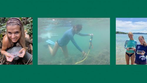
This past summer, Meierdiercks was assisted in her mapping work by Sydney Levison ’23 and Bryan Spence ’24. Each student created a StoryMap, a storytelling tool that uses interactive maps and other media.
“I really enjoyed working with Dr. M and the LEAD Agency on this project as I was able to help out with educational outreach so everyone can know the Tar Creek story,” said Levison. “This experience has really influenced what I hope to do in the future.”
Spence created a website to explain the complicated history of the town of Picher, Oklahoma in language “that anyone can understand.”
“Working on this project expanded my knowledge of the environmental impacts of mining operations,” he said. “It was really upsetting to see how the poor management of mines destroyed the town of Picher.”
Meierdiercks presented via Zoom at LEAD’s annual conference held October 12-13 at Northeastern Oklahoma A&M College. She will teach a floodplain mapping workshop in person at next year’s conference.
Meierdiercks was interviewed in October about the area’s environmental crisis by NPR affiliate KOSU.

